

The Scarps of Mančiagirė (Varėna District Municipality)
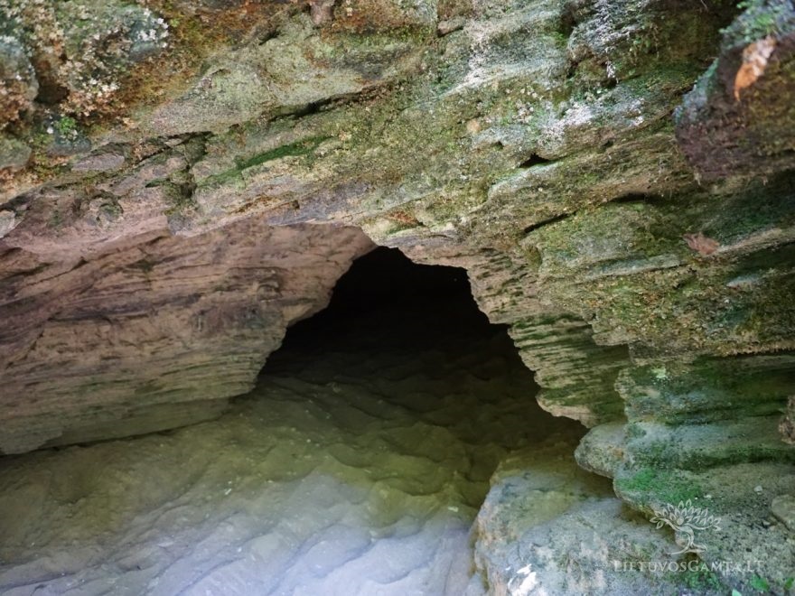
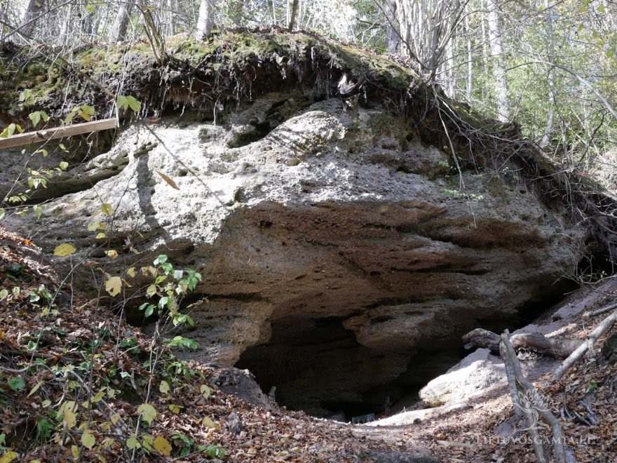
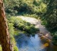
The swift waters of Ūla River, flowing along Mančiagirė village, have done quite some work. The scarps opening on both sides of the winding river, remind of a canyon.
Formed during the ice age, the scarps of Mančiagirė rise 28 metres above the sea level. The river flow keeps changing the view of Ūla Landscape Reserve, corroding the scarps, occasionally washing enough ground to open new scarps and exposures. Having lost its support, the forest falls down as well. The trees that fall into the river form cascades, making numerous kayak enthusiasts get their feet wet – they often have to carry their kayaks over the fallen tree trunks.
Those, who don’t fancy wading in the water or working out with a paddle can enjoy the beauty of the entire Mančiagirė scarp complex from the observation deck, built at the top. The view includes the mesmerising Eye of Ūla as well. That is a small lake, bubbling like a geyser. According to tales, its name comes from its size. The bubbling sand, brought to the surface, creates an illusion of the bottom of the lake, yet you shouldn’t trust your eyes here, because the actual bottom of the lake is deeper for more than one metre.